An integrated approach to offshore wind energy assessment (AIATOWEA): Experiment 3: Coastal zone of Lake Erie. |
|
Overview
Objectives
This experiment was designed to quantify wind and turbulence in the coastal zone, and was conducted at three sites near Cleveland in May 2013. The experimental design focused on high quality measurements from lidar and data integration across a range of temporal and spatial scales to quantify the flow in 3D. The experiment encountered a number of problems - as with the experiment in Indiana the ASU lidar was not available, plus the Clarkson team were not given permission to fly near Cleveland! Although not part of the work we originally proposed we also sought to integrate the data with very high resolution simulations from the Weather Research and Forecasting model (WRF). This is extremely challenging due to the complexity of wind-wave interactions and coastal zone effects from Cleveland.
Despite these challenges, we generated some very interesting datasets!
Major results
In addition to demonstrating the horizontal inhomogeneity of flow properties in the coastal zone, our observations also identified the presence of low level jets at 600 m height over the Lake (Wang et al. 2014b). Generally, there was very low wind shear (change of wind speed with height) offshore in this environment although both the wind speed profile and the turbulence profile changed very quickly over distance from the shore (Figure 6). These data (and those from the sonic anemometer) also demonstrated a number of cases of upward momentum fluxes (due to the presence of swells) that greatly distorted the wind speed profile even to heights of relevance to the wind energy industry.
Journal Publications
Videos and Photographs
Photographs
Here are some photographs of the instruments we deployed during this experiment: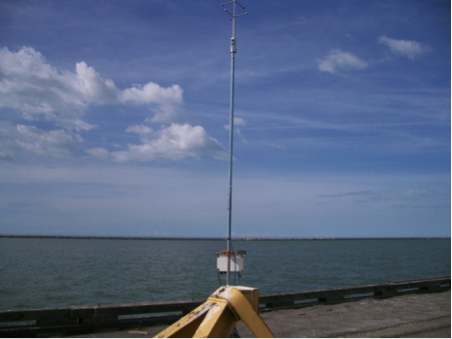 One of the sonic anemometers we deployed close to the shoreline
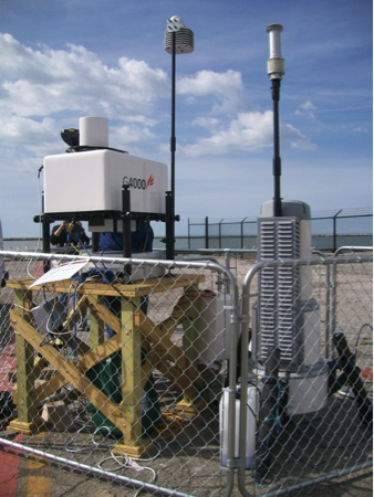 A scanning doppler lidar and one of the vertical pointing lidars we deployed on the coastline
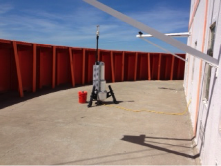 The Case Western vertically pointing lidar as deployed on the water intake crib off the shoreline of Cleveland
Data
The dataset for this experiment is complex and too large to be hosted on a Cornell faculty members website due to space limitations. However, we will be happy to provide data on request. Please note the following caveats: Naturally we can not disclose data collected by other investigators. For data from the ZephIR lidar owned by Case Western - please contact David Matthiesen (email: david.matthiesen@case.edu).